|
I had already been up the
Dike six times in winter and summer, but not since August 2011
when Hurricane Irene did some major renovations and housekeeping
on the mountain. So, on a day with a good weather forecast and no
rain in the previous few days, eight of us set out to tackle the
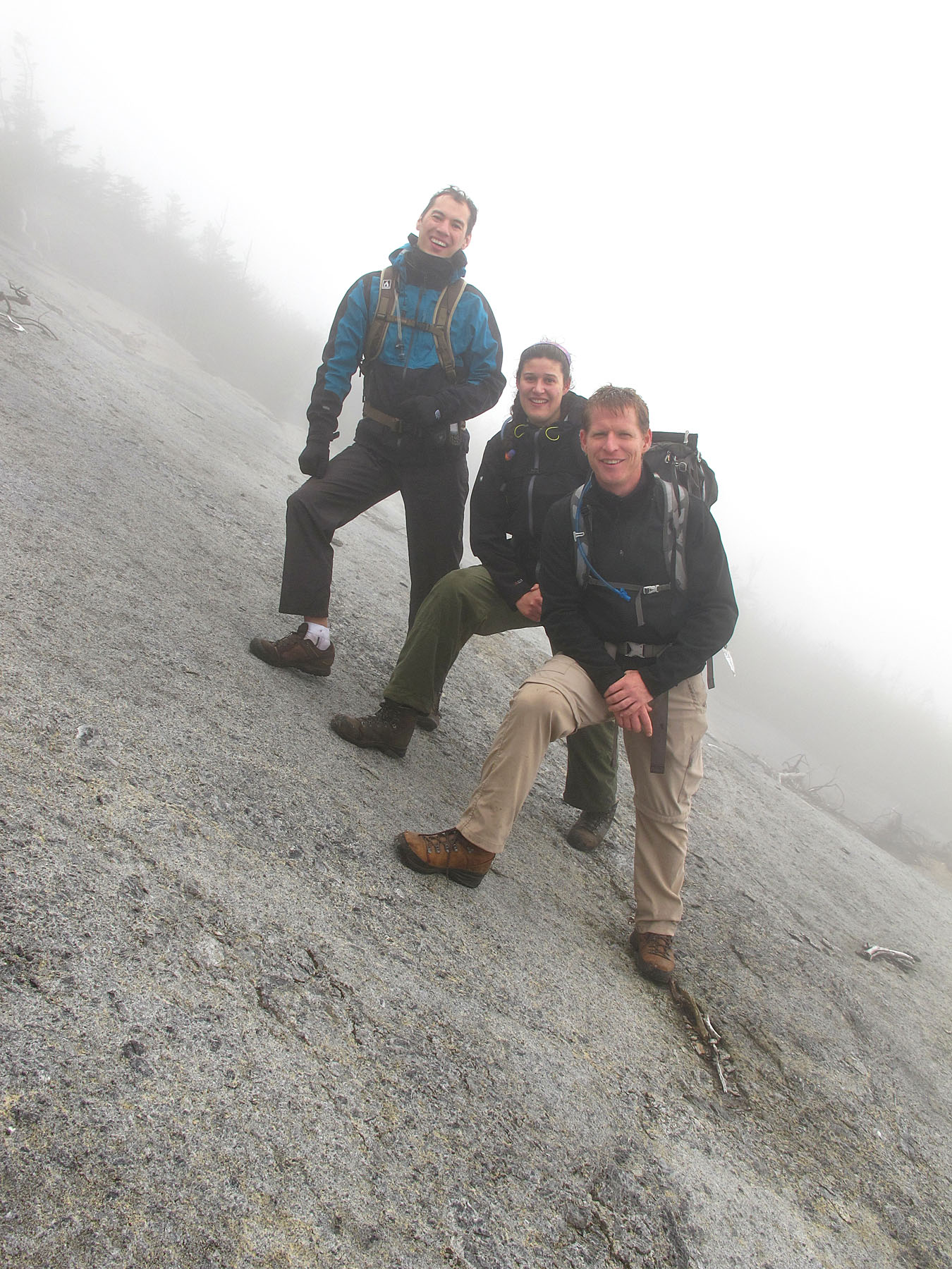
new improved Trap Dike. Antoine, Anya, Haim, Mathilde, Pascal,
Raisa, Sonia and me. Three of us had previous dike
experience.
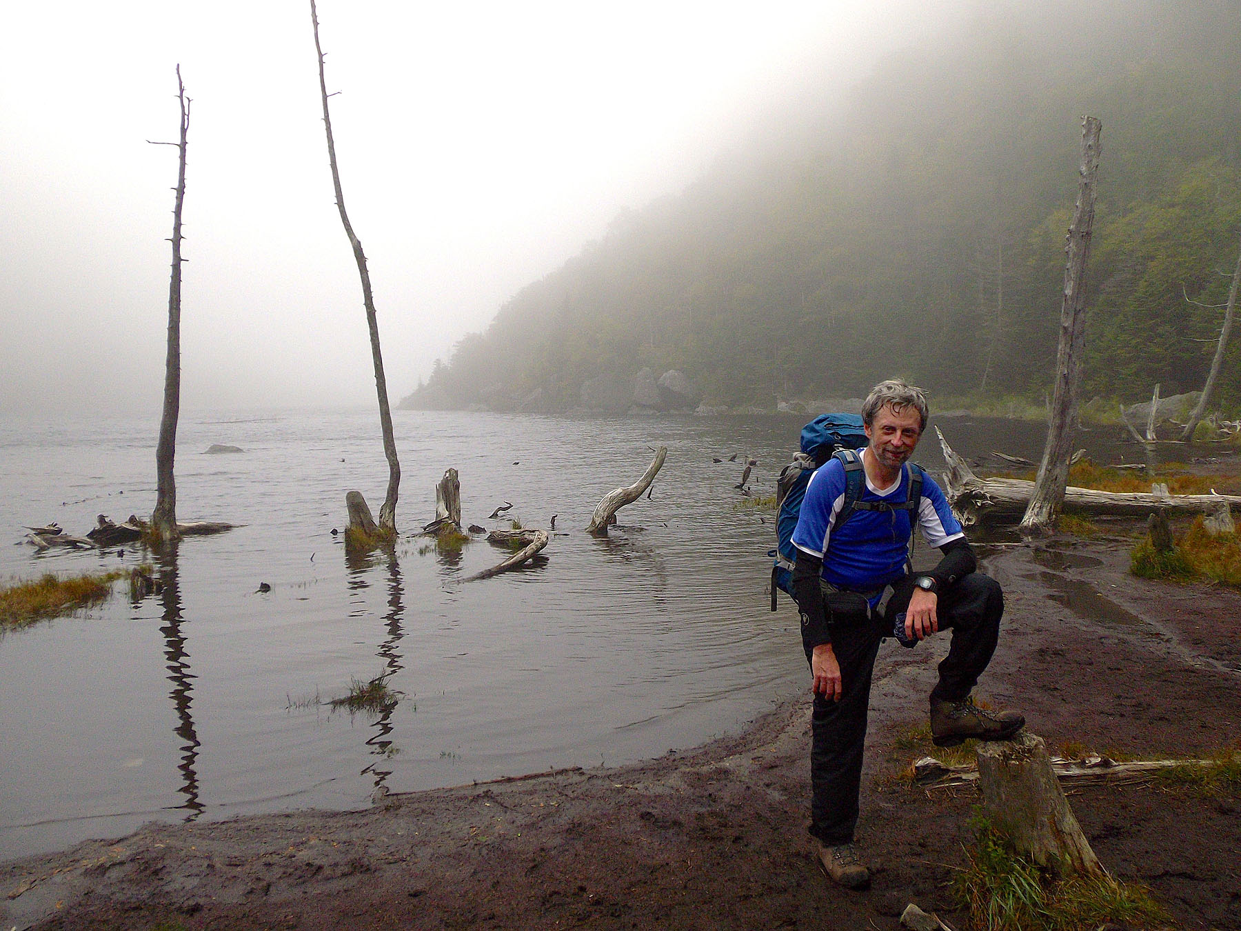
We set off from South Meadows at about 9:15am
and by around 10:00am, we were at Marcy Dam. By 11:00am we
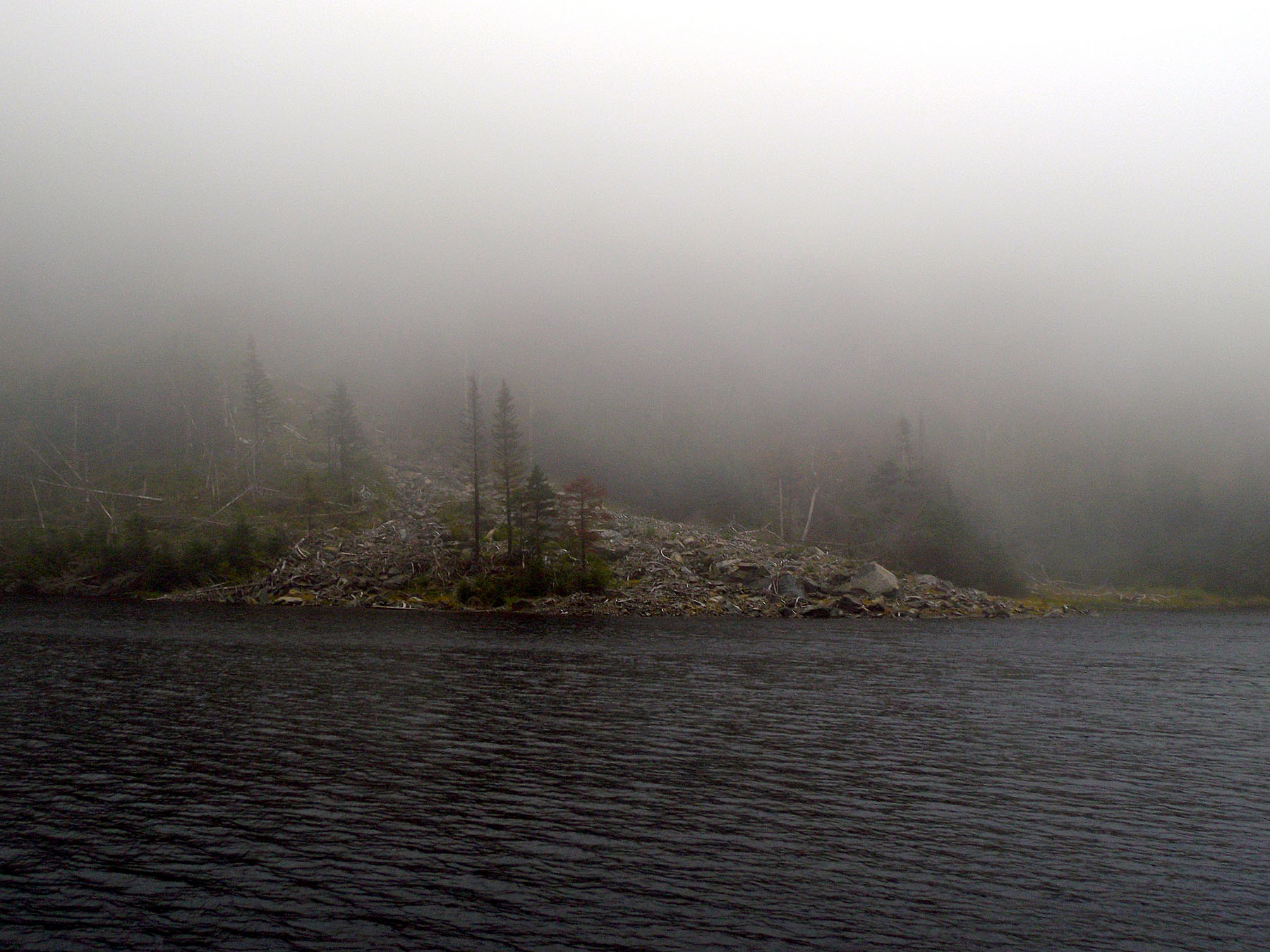
arrived at Avalanche Lake and began to realize that the whole
region was socked in by fog and clouds. Visibility was less than
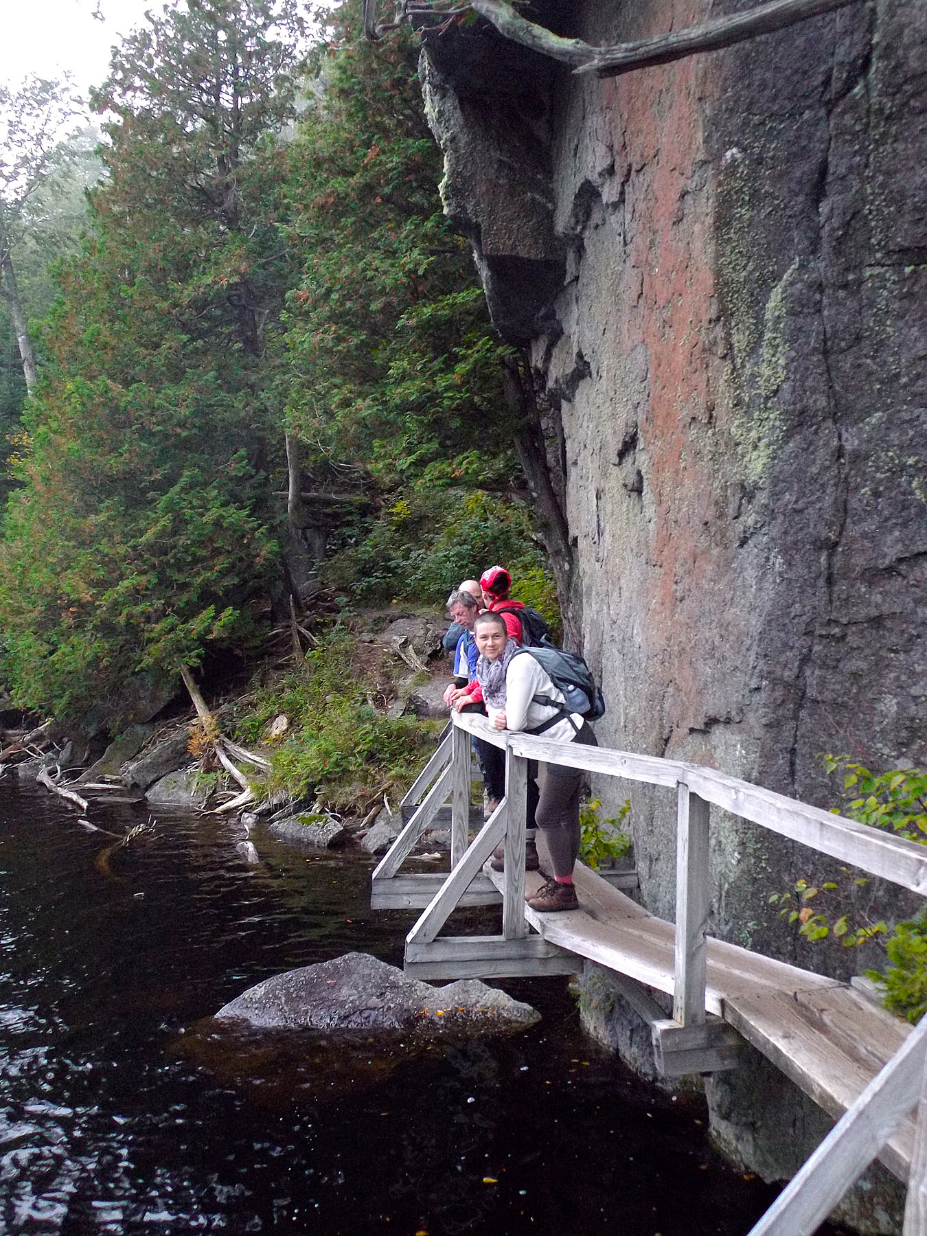
100 feet. By the time we got to the second Hitch-Up-Mathilda, we
could not even see the Dike itself, just 100 or so feet directly
across the narrow lake. As well, even though it hadn't rained in
days, everything was wet and Avalanche Lake water levels seemed
to be higher than usual.
By noon we were about to start up
the dike itself. There was more water than usual pouring down the
left side, so we stayed on the right most of the way. There are
obviously the traditional 1st and 2nd waterfalls, but today there
was so much water that the whole dike was really just one big,
long waterfall. There were definitely places where we had to
scramble on rock with cold water raining down on us from the dike
(not the sky).
Normally not that difficult, the water and
dampness everywhere seemed to make the second waterfall "crux"
a little more of a challenge than usual. After that, given our
new slide destination, I really paid no attention to the previous
dike exits for the traditional slide ascent. That being said, the
entrance to the Irene Slide seemed to appear a lot sooner than
expected. That was fast.
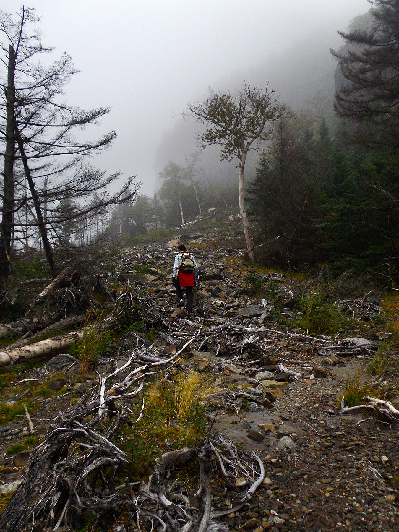
The Irene Slide itself is quite
nice. Definitely steeper than the older slide and perhaps on a
par with the Eagle Slide, with respect to steepness. However, it
is so textured and grippy that one can basically walk upright the
whole way without using hands for most of it.
The
"entrance ramp" from the right side of the dike to the
slide itself is a different matter. It is hardly impossibly
steep, but nevertheless requires due diligence and care to
negotiate it safely. Some in our group went up the first direct
entrance ramp, while some climbed a little further up on a ramp
that was actually steeper but had more cracks and handholds and
appeared to offer better security.
Once on the slide, all
that was missing were views or any visibility more than 100 or so
feet. We heard some climbers not far below us but could not see
them at all. Needless to say, there was no sign of the summit,
the Avalanche Lake area, or even the dike itself once we were 10
minutes past it. This slide is definitely a fun route. It takes a
few minutes on the very steep rock before you realize that you
don't need hands and can just walk upright most of the way. That
is how textured the surface is.
I had read reports of a
muddy section closer to the top that was tricky, but it was
certainly easy enough to avoid or get though, even though it was
pretty slick. Shortly after that, the slide kind of fizzles out
and a herd path on the left seemed to direct us within minutes to
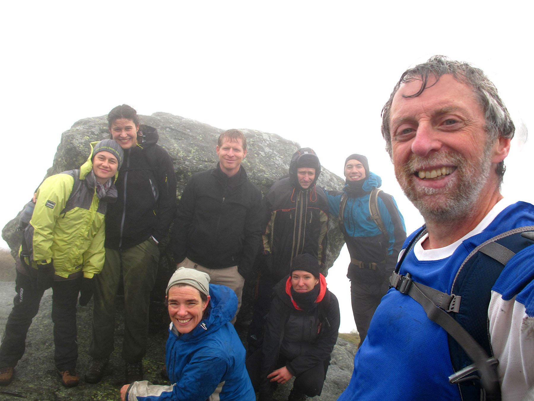
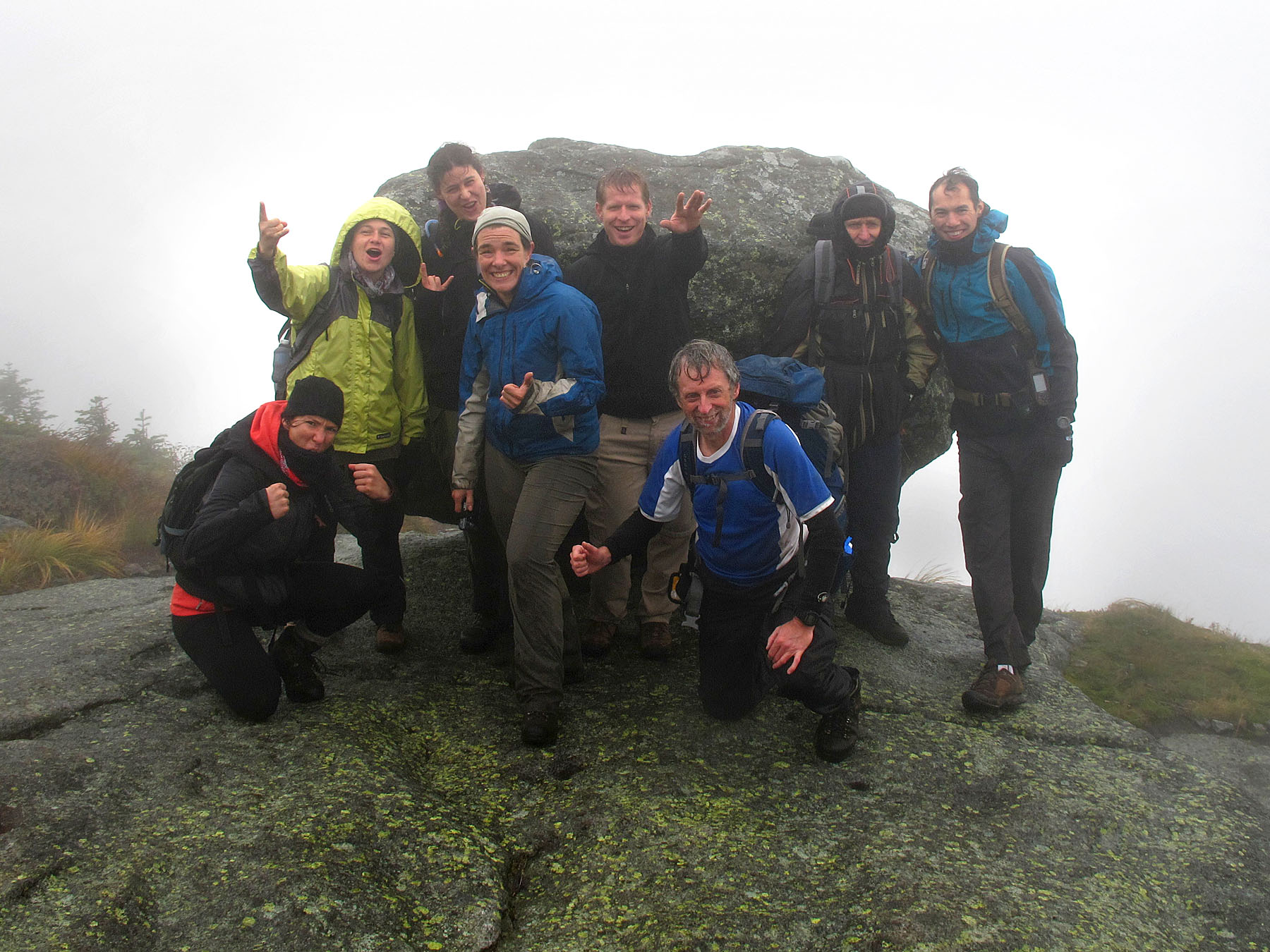
the summit. At about 3:00pm we were congregating around the
iconic balanced rock. Apparently, this must have been Trap Dike
Day as there were several parties heading up that route, some
before us and some after. Still no views anywhere, by the
way.
With the climbing fun over, we started down the
fairly straightforward Lake Arnold trail and in about 3 more
hours were back at South Meadows Road.
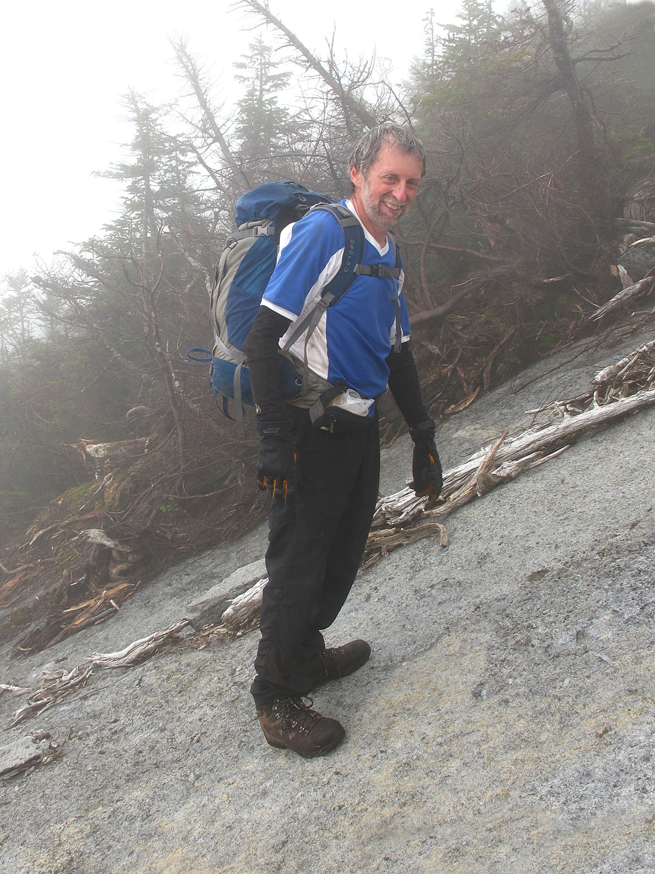
One of the great
pleasures in life is to introduce people to new and challenging
things that they might not otherwise discover. I had a great
time, but a few of our Trap Dike newbies were over the moon with
delight during and after this hike. Hard to imagine a finer day
in the mountains. Life is GREAT!
|